Tuesday, June 18, 2013

Grand Teton National Park

Yes, yes, I'm alive.

'Tis PCS season once again.  We have yet to make a same-coast PCS trip.  All of our PCS moves have been at least 3,000 miles across country or across the ocean.  The Navy has sent us back to the Pentagon again, and we're excited to enjoy all there is to see and do around the National Capital Region.  The timing worked out well for us this time to let the boys finish school and then drive across country.

I enjoy making the drive across country and seeing America along the way.  I was disappointed to miss the drive across country from DC out to Bremerton in 2011.  My Lovely Wife had to do that road trip with the boys and a good friend from church who rode with her.  I would have liked to have more time to drive across country this time and see and do more like our previous trips (see my blog posts from our road trip in September to October 2008), but I had to get to my new job by a certain date.

Since we had been to Yellowstone National Park a couple of times on previous drives across country, we decided to veer a little south this time and see something new and different -  


A few things I learned in the process of planning our visit and going to the Tetons:

- "Jackson Hole" is a term used for the valley to the east of the Tetons, to include the town of Jackson, Wyoming.

- Most of the rest of Wyoming does not consider Jackson Hole to be part of Wyoming.  There's a vast tourist business flowing through Jackson Hole year-round.  In the winter, people go for the skiing and winter sports.  In the summer, people go for the hiking, biking, kayaking, canoing, rafting, and just about any other outdoor activity you can imagine. 

- EVERYTHING is expen$ive in Jackson Hole.  The statistics of the number of tourists who go there are mind-boggling, and all the hotels and restaurants enjoy charging high prices just because they can.  I suffered some sticker-shock and pain in my wallet as soon as I started investigating hotels in Jackson Hole.

So, to help conserve our finances but still have two days of activities in GTNP, we drove to Rexburg, Idaho and spent the night there.  Rexburg is just 2 hours west of Jackson, and you can actually see the back side of the Tetons from there.  By doing that, we got up, drove into the park, had most of a day there, $pent just ONE night in a Jack$on Hole hotel, got up had most of a second day there, then continued driving east and stayed the night in a cheaper hotel in Casper, WY. 

Day 1:

View of the Tetons from near Rexburg, Idaho

I figured with it being a big tourist trap that gas would be pretty expensive in Jackson Hole, so we stopped and topped off the gas tank in Idaho on our way inbound.  Much to my surprise, it turns out that was actually a mistake.  Gas was significantly cheaper in Jackson Hole than it was back in Idaho.  Go figure.

I found this website useful - it provided four recommended day hikes in GTNP with kids.  Because I liked what he had to say on his website, I ordered his book, too, and I was glad I did.  I wish I had more time to do all of the hikes he recommended, but decided in the short time available to do the hike he wrote was his kids' favorite - Hidden Falls and Inspiration Point. 

There are a TON of places to eat in Jackson Hole.  I should have done more research before we got there on where we wanted to eat.  They're all local unique places, no national chains.  I made the mistake of just walking in someplace for lunch that I thought looked good.  The food was okay, but the service was downright terrible.  If I would have looked at the Yelp reviews on my phone before we walked in there, I would have stopped and walked out.  I was kind of pissed off we wasted a meal there when there were so many other places with great reviews.

After lunch, we headed to the Jenny Lake Visitor Center.  We parked there and caught the Water Taxi across Jenny Lake.

Waiting to Board the Jenny Lake Water Taxi

The water taxi is open to the fresh air, but there's a canopy for shade over the forward half of the seats.  It carries about 30 people or so.  It's first come first serve and runs about every 15 minutes.  Their cashiers are pretty quick and efficient, and they DO take credit cards.

On the Jenny Lake Water Taxi 

From the landing on the other side of Jenny Lake, we went on a short day hike to Hidden Falls (0.5 miles) and Inspiration Point (another 0.5 miles past Hidden Falls).

The trail is very well-defined and mostly fenced-in with wood post fences like in the picture above, so it'd be kind of hard to get lost here.  

There was an incredible volume of water gushing down this valley into Jenny Lake.  When you look at this picture, you need to imagine the deafening ROAR of rushing water.  Here, let's see if this video will help...


Hidden Falls

The Hidden Falls were gorgeous and totally worth the trip.  Of note, we almost missed them.  You see, they're sort of... well... Hidden.  If you follow the sound of the water and go the direction you think you need to go across the bridges, then you'll only get a partial view of the falls through a bunch of trees off on the right.  Thankfully, I overheard someone telling someone else on the trail to go back across the bridges (away from the river and the sound of the water) and turn right up what looks like the smaller / less traveled trail.  That path takes you to the much better viewing point that you see in the picture above.   

The Trail to Inspiration Point

The trail to Hidden Falls was pretty flat.  From there, there's a slight climb half a mile up to get to Inspiration Point.  Now, you might think that a 1 mile hike (2 miles round trip) is really short and pretty darn easy, but if you're not used to the altitude (~6,700 feet) then you're going to be winded. 


There was a pretty nice view from Inspiration Point.  I was glad we did it.

 YB on the trail back to the water taxi
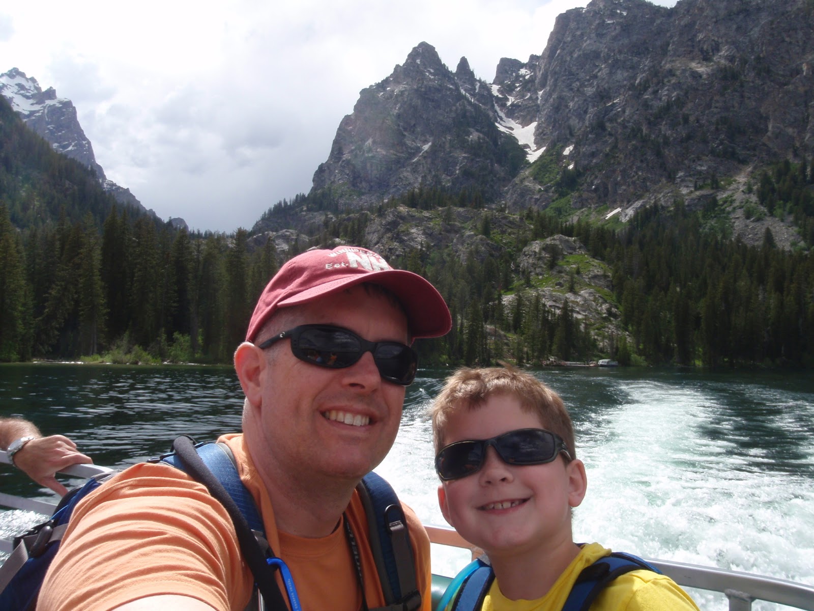
Me and YB on the water taxi back to the Jenny Lake Visitor Center

To get a feel for the volume and variety of visitors they get here:  The water taxi operators clear this board every day.  They ask their visitors to put the magnet for their state up on the board or write the name of their country on the right, and they fill the board almost every day.

The Tram

Next, we drove down to the Teton Village and took the aerial tram ride up to the top of the mountain.  There are no reservations for the tram ride - it's first come, first serve.  They sell tickets for the tram online, and when you buy the tickets they're good for a one week period.  I DO recommend buying them online because they are cheaper online (save $6 per ticket) and easier to pickup at the will-call window. 


While waiting for the tram, the boys pretended to be terrified of the ride to come.

We were there for the second to last tram up for the day and it was pretty empty.  We almost got the entire tram to ourselves.

It was a really cool 12 minute ride up to the top.  We saw three moose below us on our way up.  Once we got up to the top, though, oh my!  It was COLD and HOWLING wind.  The view was spectacular, but we turned around and got on the next tram back down because we were freezing.

We spotted 2 more moose on our way to dinner.

For dinner, I had learned my lesson and checked Yelp before picking a place to eat.  We had dinner at the Sweetwater restaurant (Yelp listing), and it was EXTRAORDINARILY FABULOUS.  I can't tell you enough how awesome both the food and the service were at Sweetwater.  It was so good, I might just be willing to pay for the plane ticket to go back to Jackson Hole and eat there again.

We stayed at the Lexington Hotel, which was a VERY nice hotel with an excellent continental breakfast, but it cost twice as much as any other hotel on our trip across country.

Day 2:

The next day, we checked out of the hotel and headed back to the Jenny Lake Visitor's Center again - this time to rendezvous in the parking lot with Solitude Float Trips for a 10-mile scenic float trip down the Snake River.

Our guide, Bernie, and his team from Solitude Float Trips did a great job.  It was a very well-organized and efficient operation.  They met us in the Jenny Lake Visitor's Center Parking lot where we all piled into their vans towing the boats on these flatbed trailers.  They drove us up to Deadman's Bar and put us in the water there.

After putting the boat in the water, the used the flatbed trailer as a sort of dock / loading platform, so we were all completely dry when we sat down in the boat.  In fact, the rest of the ride was very smooth and we wouldn't have gotten wet at all if it hadn't been for certain members of my family sticking their hands in the water and flicking it at each other.


Bernie was great with our boys, talking to them, asking them questions, and he let each of them take a turn at guiding the boat.

The scenery was spectacular, and we saw three bald eagles, an osprey, and a prong-horn along the way.  I was also thankful to Bernie for giving us his local perspective on the area since he lives there year-round.  He told us the best place to eat in the national park was at the Signal Peak Lodge.  Someone else we had met along the way had recommended going to see Signal Peak because you can drive right to the top and enjoy the view.  So Bernie's claim of the food being good at the lodge sealed the deal.  After we got off the river, we headed up to the Signal Mountain Lodge.

Lunchtime View

The Signal Mountain Lodge is on the eastern shore of Lake Jackson, looking westward across the lake toward the Tetons.  Bernie was right - the food was fantastic.  The service was okay - not bad / but not extraordinary.  After lunch, we drove up to the top of Signal Peak.

Now, before you go driving up there, you should know that the viewpoint at the top has a pretty amazing panoramic view of the valley from north to east to south, but the view to the west (toward the Tetons) is blocked by trees.  I went up there expecting to see another great view of the Tetons and was a little surprised and slightly disappointed, so I just wanted to help you manage expectations if you go driving up there, too.

By that time it was early afternoon and we needed to hit the road.  We drove about 5 hours east / southeast from there to where we spent the night in Casper, Wyoming.  Overall, I'm pretty pleased with how our plan ended up enabling us to get two days' worth of activities in GTNP without paying for two night's hotel stay there.  There was SO much to do there!  I would LOVE to go back someday and spend a week hiking, biking, kayaking, and just soaking in the splendor of the natural beauty of the park.

...I just might have to take out a home equity loan to afford it.

Friday, May 31, 2013

Mailbox Peak Climb

I've been anxious to get out for a hike ever since I got back from my last patrol, but have been pretty busy with other things.  Now that those things have settled down, I was able to get out on the trail with my friend Rob yesterday.  He wanted to conquer this thing called Mailbox Peak.  I was game to give it a try and test my limits, but my body is pretty angry with me today.

I was aware of the steepness of a hike being a significant factor in a hike's difficulty.  Hiking books and websites like the Washington Trails Association consider anything over 1,000 feet per mile a "difficult" uphill slope.  Because of that, I have been keeping a Hiking Log spreadsheet that tracks the mileage, elevation gain, and slope (in feet per mile) of each hike I've done.  I use it to evaluate new places I want to hike by comparing it to previous hikes I've done, both with and without kids in tow.

I've done two hikes in the past that crossed that 1,000 feet per mile threshold of difficulty, both in Hawaii about two years ago - Koko Head and Olomana.  The longest hike I've done was the Elk Mountain hike last summer at 7.2 miles, and I've been wanting to try more, longer hikes like that.

So reading the description of the Mailbox Peak hike, I figured 6 miles and > 1,000 feet per mile would be a good test of my endurance - not quite as long as my longest hike, but balanced out with the steeper slope.

Yeah, that wasn't very smart of me.

Aside:  Have you ever heard that comedian Bill Engvall?  He does a routine called "Here's Your Sign," where he describes how stupid people should be required to wear signs.


Engvall's "Here's Your Sign" routine is pretty darn funny, but after yesterday's climb, I have to say I should be wearing one of those signs.

Here are a couple of facts I neglected to mentally digest before embarking on this hike climb:
1) While I was able to do two previous hikes > 1,000 feet per mile, they were 1.6 and 3.2 miles long.  This was twice as long.
2)  The WTA description warns that the first part is flat, so when you take into account the length of the hike that is actually climbing in elevation, it's really over 1,500 feet per mile.

If I plot the Koko Head and Olomana profiles on top of the profile from the Mailbox Peak climb, you can see that Mailbox Peak puts the previous two to shame:


Of note, at the Mailbox Peak trailhead, you will find this warning sign...

Ahem.

For those of you considering going on this adventure, here's a closeup of the trail map:


This genuine smile provided at the beginning of the trail.

The trail was mostly gravel, hard pack dirt, and tree roots.  Near the top of the tree-line there were some sections of snow.


The WTA description about this being a trail of heartbreak could use a little more elaboration.  You see, after you've climbed... and climbed... and climbed... and you're exhausted and out of breath, and you THINK you've reached the top...
...then you turn a corner and see there's no endpoint in sight.  Just another near-vertical slope to climb through steep switchbacks.  Then, after you've climbed... and climbed... and climbed some more, and you think you've reached the top...  You turn another corner and see that AGAIN you aren't even close. 

The trail is well-marked with these white-diamond trail markers on the trees.  Someone was kind enough to take a sharpie marker and write motivational phrases like this on the ones facing uphill.


When you come out onto a ledge overlooking I-90 below and you see this view looking up, THAT is the last stretch to the top.  Rob is in much better shape than me, and he pushed on ahead to the top.  I followed him up slowly.  The top was actually in the clouds up there.

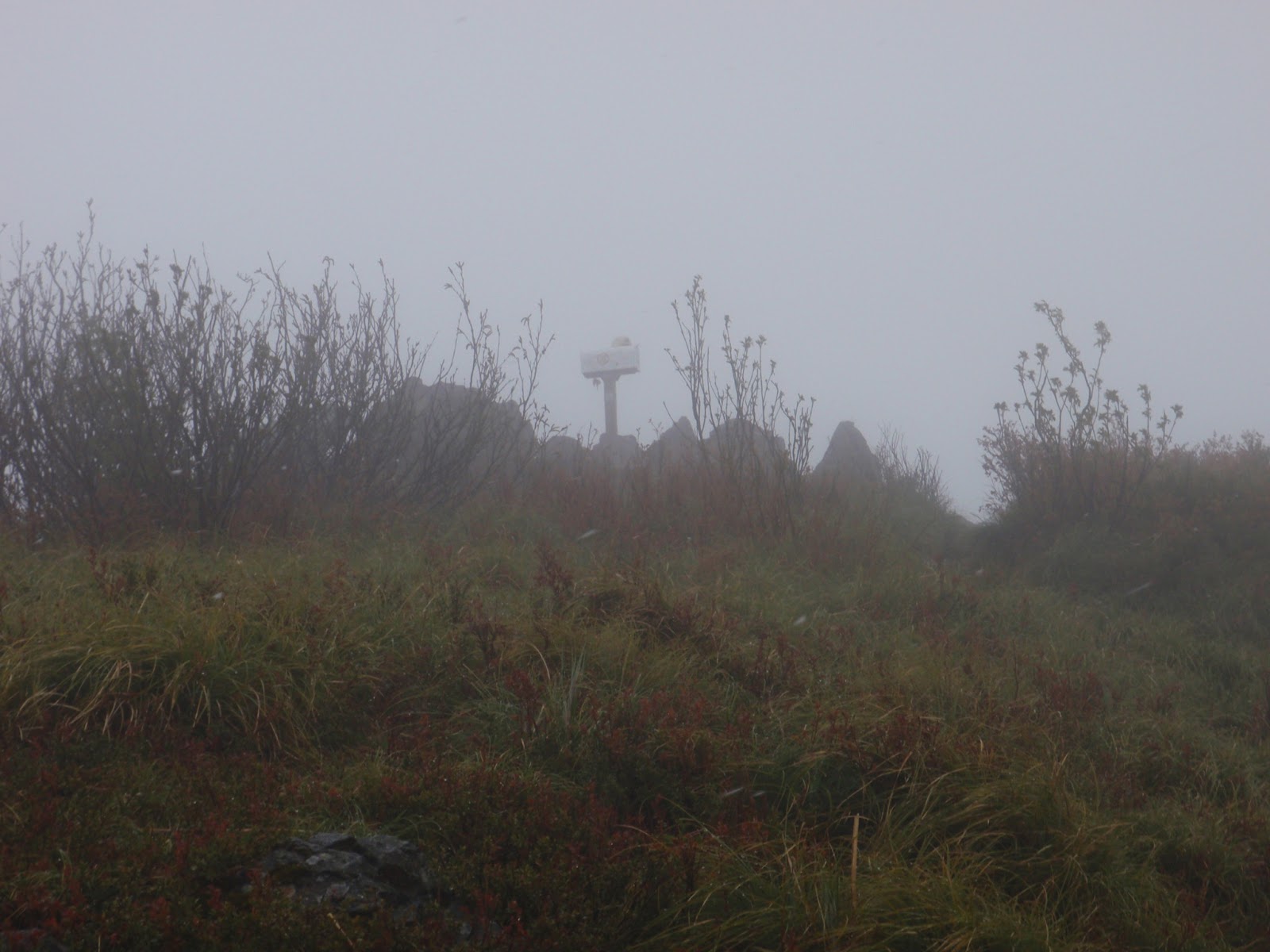
Wait... what is that?

Could it be?


 I MADE IT!


It took me just shy of 4 hours to reach the top.  I suspect the view would be stellar if the peak weren't buried in clouds.  What the picture above doesn't show is that it was 39 degrees, winds blowing about 15 knots, and snowing sideways.  My hands were so numb from the cold, I couldn't feel the camera buttons.  I'm surprised I got this picture.  Rob was originally going to make a pot of coffee here at the top, but it was too cold, windy, and snowing, so we headed back down to the overlook above I-90.

Coming back down out of the clouds, there was a nice view of the Snoqualmie Valley.  Semi-trucks on I-90 looked like ants.

There's Rob down there making his coffee.

Rob took this picture looking back up toward me near the top.

There weren't many flowers to see on this hike.  This was the first time I've seen a pink trillium, but the few that I saw weren't in very good shape.

After eating lunch, we started back down the trail.  It rained most of the way, making the trail fairly muddy.

It was pretty tough going back down.  I was glad to have two hiking sticks with me.  Several times one of my feet slipped out from under me, but I was able to catch myself with my hiking sticks.  My legs felt like jello when I got to the bottom, and they're pretty darn sore today.

In the end, I'm glad I did it.  I learned an important lesson in self-assessing my own abilities and evaluating the difficulty a potential future hike.  I'm thankful for a few answered prayers I said on the way up for the strength, energy, and endurance to make it to the top, and for a few answered prayers I said on the way down that I made it without slipping and without my legs giving out on me from exhaustion.  I'm also thankful for my friend Rob inviting me to go with him and for being gracious in waiting for slow-poke me to catch up with him along the way.
Trip Stats:


Summary:
  • Date: 30 May 2013
  • Time of Departure: Left Bremerton at 8:15 a.m. and drove around via the Tacoma Narrows Bridge, made one pit-stop along the way and arrived at the trailhead at 10 a.m.  We geared up and headed out on the trail at 10:13. 
  • Reached the Peak:  2:03 p.m.
  • Time of Return: We stopped at the overlook to eat lunch before heading back down.  We departed the overlook at 2:44 p.m. and arrived back at the car at 5:07 p.m.  
  • Elapsed:  6 hours 54 minutes
  • Moving Time (GPS):  3 hours 51 minutes 
  • Stopped Time (GPS):  3 hour 3 minutes 
  • Mileage (GPS): 6.14 miles
  • Avg Speed (GPS):  1.6 mph
  • Elevation Gain:  4,722 feet
  • Max Elevation:  4,841 feet
  • Weather:   Mostly cloudy, intermittent light showers, snowing at the peak.
  • Winds:  Calm in the trees, approx 15 knots at the peak.
  • Air Temp: 55F at the trailhead, dropping down to 39F at the peak.
  • Trail:  Well-defined hard-pack dirt or gravel trail, lots of tree roots.  
  • Crowds?  Not crowded, but not alone.  There were about four cars parked at the trail head.  On our way up, we passed about 4 people headed down.  On our way down, we passed about 10 people headed up.
  • Hazards?  Some steep dropoffs.  No sources of water.
  • Kit: Long sleeve T-shirt, cargo pants, L.L. Bean rain jacket, Merrell Moab Gortex hiking boots, ballcap, two walking sticks. 
  • Facilities:  There was a privy near the trailhead.  There are no sources of water along this trail.
  • Wildlife:  Didn't see any.

Wednesday, May 29, 2013

I'm a convert

To be totally honest, I was NOT a fan of the new Navy Working Uniform (a.k.a. "NWUs," a.a.k.a. "aquaflage," a.a.a.k.a. "n-dubs") when they first came out.  I especially didn't like monetary expense (cue cash-register sound effect: cha-ching! cha-ching!) and the hassle of getting to the Navy Annex uniform shop to get my initial fitting out of NWUs.  I'm especially not fond of the expense considering I wore this uniform for one tour, and now I will probably never wear them again.

However, they grew on me.  I actually like them a lot.  They're comfortable and they have lots of pockets for storage.  I especially liked the big side pockets on the thighs.  My shipmates will attest to the fact that I carried a bunch of different colored dry erase markers in one pocket to be able to give training-on-the-fly at the Trident Training Facility (TTF) or on the boat. 

Here are a few other odds and ends of NWU observations and advice:

Pants

On my previous post about NWUs, Oz gave some good advice in the comments section:  Get the pants longer than you think you need.  If they're too long, that's fine because you're just going to blouse them anyway.  The first pair of NWU pants I bought were the size recommended by the tailor lady at the Navy Annex uniform shop, but I found they weren't long enough to blouse and keep the top of my boot covered.  Eventually I broke down and bought another, longer pair so they would blouse right and cover my boot laces.  When you try them on, I recommend blousing them over a boot then sitting down in a chair.  Try crossing your legs.  That was usually when I found mine pulled up onto my calves. 

Undershirts

Note, just like the uniform regs don't say, "Thou shalt buy Bates shoes because that's what they sell at the Navy Exchange," they ALSO don't say, "Thou shalt buy the nasty, scratchy, uncomfortable blue NWU t-shirts because that's what they sell at the Navy Exchange." 

Article 3603.3 of the Navy Uniform Regs only specifies, "Navy blue, cotton, quarter-length sleeve, with an elliptical (crew-neck) collar."  So just like the shoes, I encourage you to branch out and find something comfortable. 

I tried a few different brands of t-shirts including the standard ones sold at the uniform shop, plus the Hanes, L.L. Bean, and Old Navy.  I didn't like the L.L. Bean because the tag was in the seam on the left side and kept poking and scratching me.  The Hanes and the Old Navy were both comfortable.  The Hanes were more affordable, but I think the Old Navy will last longer.  The one I liked the most and bought a bunch of were the Old Navy.  I bought some in short-sleeve and some in long-sleeve.  I've worn them almost every day for the past 26 months - both with my coveralls underway and with my NWUs in port, and they've shown no sign of physical degradation in that time.  I have other plain white Hanes t-shirts and underwear, and while they're comfortable, they would NOT have lasted this long.

Okay, yep, you got me.  I'm putting myself on report for NOT following the uniform regs because I had LONG sleeve shirts when the uniform regs specify short sleeves.  However, I found them very useful in the winter both in-port here in the Pacific Northwest and underway on a submarine, and nobody can tell the difference from your neckline of whether you have a short or long-sleeve shirt on underneath.

Hats

If I was given the authority to change just one thing in the uniform regs, then I would bring back the standard command ballcaps.  It would be fine if we were limited to wearing the ballcaps on-base and had to wear the standard NWU 8-point cover if we leave the base.  Here's why:

  • The 8-point cover acts like a sail and is easily carried away in the wind.  Speaking from experience, it's very frustrating climbing the ladder out of the submarine and as soon as your head breaks the plane of the main deck, the wind blows your cover off into the water.  Doh.  Now you look like a fool walking around base with no cover on and people looking at you funny.  The ballcaps present less surface area and are more rounded to your head and don't get blown off so easily.
  • After it's been blown off into the drink, it is decidedly INconvenient to replace the 8-point NWU cover.  They aren't adjustable, so you have to buy your specific size.  On small ships and submarines without a dedicated ship's store, it doesn't make economic sense to manage an inventory of NWU covers in every possible size.  Since they don't sell them in the ship's store, you have to go up to the uniform shop to buy a replacement.  Oh, and you have to buy the rank insignia to be sewn on.  Then you either have to take it home and sew it yourself, or you have to turn it into the tailor shop to have them sew it on.
  • The 8-point cover and rank insignia are more expensive than the command ballcap.
  • The command ballcap, if worn by all personnel, provides uniformity, looks sharp, and can boost Sailors' pride in their command.

In a nutshell, the 8-point cover is easier to lose and both more expensive and inconvenient to replace.  The command ballcap is harder to lose, costs less, and is much easier to replace from the ship's store, and it can boost the crew's pride in their ship.

All that being said, two points of advice for those of you wearing NWUs under the current rules:

1.  Buy TWO NWU covers so you have a spare ready - correct size, rank insignia sewn on, etc.

2.  When you first climb up that ladder or step out onto the weatherdecks, hold onto your hat!

Well, NWUs, it's been fun.  I'm headed back to the National Capital Region, so I guess I better go try on my khakis again.  Hmmm... I wonder if I can return the NWUs to the Navy Annex uniform shop?  Let's see... where did I put that receipt?  They won't find it suspicious that the receipt was dated 2 years ago will they?

Monday, May 27, 2013

Until we meet again...

I've delayed writing this post because I'm not sure how much kleenex I'll use in trying to write it.  I've known this day was coming for a long time, but that didn't make it any easier to say goodbye to my hero, my Grandpa.
I'm very thankful that I was able to take my family to San Diego for a weekend trip.  I was able to go visit my Grandpa in the hospital twice.  It was heartbreaking to see such a great man so weak and frail in a hospital bed.

Much of who I am – my values, my personal likes and dislikes, and my character can be traced to my Grandpa.

When I was little, Grandpa used to read me stories all the time.  When we weren't together, he would read stories onto cassette tapes that I would listen to every night when I went to bed.  At one point, I had listened to him read me the Hobbit so many times that I think I had it memorized.

 
Grandpa with what we called his "mad scientist" hairdo, holding me.

After earning a PhD in Chemistry from University of Chicago, Grandpa was recruited by the Department of Defense to work on a top secret project at an undisclosed location.  As a result, my mom grew up in Los Alamos, New Mexico, where Grandpa was one of the scientists who worked on the Manhattan Project.  After the war, he worked with Willard Libby who shared his 1960 Nobel Prize for Chemistry with Grandpa for their work developing radiocarbon dating.  When Grandpa retired from Los Alamos Laboratories, he and my grandma moved to Grand Junction, Colorado.

I spent many summers with him in Colorado - hiking, launching rockets, building models, playing chess, going to theater performances, shooting, playing the Japanese strategy game Go, going to amusement parks, going to National Parks, panning for gold (no we never found any, but it was fun anyway).
Grandpa made this tree house at his home and another one at our house in San Diego when I was 6 years old.  The tree house in San Diego was one of my favorite places to be until we moved out of that house when I was 15.

I have at least 10 things around my house that were made by my Grandpa, including this chess table.

Grandpa was an experienced mountain climber, photographer, and master of woodworking.  He taught me an appreciation of nature, the great outdoors, National Parks, classical music, theater, history, foreign cultures, languages, and foods, and he planted the seed that would grow into my passion for traveling the world and gaining new experiences.

After living so long in New Mexico, Grandpa loved bolo ties.  Outside of New Mexico, if he went out to a fancy restaurant for dinner wearing his nicest bolo tie, the maitre d' was in for an earful if he tried telling Grandpa that he needed a tie to dine there.

After my grandma passed away during my sophomore year in college, I helped Grandpa moved to San Diego to live with my mom.  While I was a student at University of San Diego, I used to take Grandpa sailing on San Diego Bay with a picnic lunch.  Grandpa taught me to appreciate things like brie & apples and Camembert cheese.  My favorite things to eat are some quirky acquired tastes, like sushi or mole poblano, but I liked them because my Grandpa liked them and I wanted to be like my Grandpa.

Grandpa standing on the wall in the front yard so it wouldn't look like he was shorter than me. (~1993 when I was a college student at University of San Diego)

While he and my parents instilled in me a deep respect and value for education, Grandpa was very humble and unpretentious.  He never liked for anyone to call him “Dr. Anderson.”  He was simply, Ernie.

When I was 11 years old and upset because the doctor had just told me I had to have surgery on my hip again, it was Grandpa I wanted to call for comfort.  Back then it cost an arm and a leg making a long distance call from a pay phone, but my mom let me.  I can still feel the cold plastic against my ear and sterile smell of that pay phone in the hospital as I cried into the phone, and I can still hear Grandpa's reassuring and soothing voice in my head.  He would come to be at my bedside while I was in the hospital, reading to me and keeping me company.

Twenty-nine years later, sitting by Grandpa's hospital bed, I read to him one of our favorites, The Ransom of Red Chief by O. Henry.  Grandpa also loved Gilbert and Sullivan, so I sang him a couple of songs from HMS Pinafore and The Pirates of Penzance.

It has made me very sad over the last many years to see Grandpa's slow decline.  It was like a sock in the gut to me when he wouldn't play Go or chess with me anymore because he couldn't remember his last move and I always won.  It was another sad day when Grandpa stopped using his table saw.  His hands weren't steady enough to do woodworking anymore.  His hearing was so poor you had to shout for him to hear you, so it was very hard to have a conversation with him.  At that point, the only thing he liked to do was sit in his favorite chair and read.  Then at some point he couldn't even do that.  The words on the page no longer made sense to him, and all he wanted to do was sleep.  He lived a long and productive life, and I'm glad he's no longer suffering and trapped in his physically weak body.  The song "Homesick" by MercyMe keeps playing in my head.


I am so thankful for being blessed with such a wonderful role model and mentor.  I will always remember him as the smiling, adventurous, happy, vigorous, wickedly smart, loving Grandpa with the mad scientist hair-do, the bolo tie, and the pocket protector full of pens.

I miss you, Grandpa.

Ernie Anderson
August 23rd, 1920 - May 20th, 2013

Monday, April 29, 2013

EMP Museum

It's only taken two years of living in the Pacific Northwest, but I finally went to the top of the Seattle Space Needle.  I'm glad I did it, just to be able to say I've been there, done that.  Cross it off the list and not live a life wondering what I was missing.


In hindsight though, holy cow that was some highway robbery!  The cost of the tickets to go up the Space Needle and check out the view were astronomically high.  You'd think we were actually funding putting the Space Needle into orbit!  My wife's cousin has lived here in Seattle for over a decade and has NOT been to the top of the Space Needle.  She's now gone so long without it that she considers it a matter of pride and refuses to go when invited.  To her I say, WELL DONE!  She is much wiser than me.

After the Space Needle, we went to the nearby EMP Museum.

Oh.

My.

I didn't really know what to expect.  My wife said she heard it was cool and it had musical instruments and stuff.  I said okay, sure, why not?  I'm always up for some new experiences.

I'm SO glad we went.  The EMP Museum is TOTALLY worth the price of admission.  If we weren't getting ready to pack our household goods for yet another cross-country PCS move, then I would have bought the annual pass so we could go back. 

If you have ANY interest in ANYTHING sci-fi related from Star Wars to Star Trek to Dr. Who to The Fifth Element to Men in Black to Aliens to Terminator to War of the Worlds to the Matrix...  You should go to the EMP Museum.  I LOVED the Icons of Science Fiction exhibit.  It's a museum of costumes and props from just about every sci-fi movie and television show you can imagine.

The Art of Video Games exhibit was like going back 30+ years through a time warp and conducting a pass-in-review of the various electronic boxes that have consumed hours upon days upon weeks of my evening and weekend free-time away from school and eventually work.  Starting with the Commodore 64 and working your way up through the first Nintendo to the Wii, XBox 360, and Sega, there is an exhibit for each computer or gaming console and a sample of four types of games to show you the quality of graphics and sound.  Man some of those old games brought back memories!

Up on the third floor they have some pretty cool music stuff.  There's a Sound Lab full of different musical instruments for you to try, with an interactive touch-screen computer display for each instrument.  I was pretty impressed my eldest son picked up the bass guitar, figured out the bars works the same way as on his cello, and started plucking out the notes of Beethoven's "Ode to Joy" on the guitar.


Then there's this exhibit called On Stage where you can go do a simulated live performance in front of a huge crowd.  You make up a band name and choose from a short list of cover songs to sing.  My family chose the Go-Go's "We Got the Beat."  If you really do know how to play the instrument, then they can turn it on so you'll really play it, but otherwise, you just pretend you're banging away on the keyboard or guitar and sing along.  They play background noise like there's a screaming crowd of fans in the audience in front of you.  We had fun pretending to be rock stars on the stage.  Of course, after you walk off the stage, then they would like to stick a vacuum in your wallet and get you to buy DVDs of your stage performance and posters of your band on stage, etc, but that's all optional.  We skipped the souvenirs, but we had fun playing on the stage.

There are several more exhibits there to see, and you can check them all out on the EMP Museum website, but those were my top three favorites from our visit.  The website is well-done and has a lot better pictures than what I took with the camera in my phone.

The gift shop was pretty dangerous for us, too.  My boys are obsessed with Dr. Who, and there was a TON of Dr. Who stuff in the gift shop.  They've both been wearing their new Dr. Who t-shirts as often as my wife gets them through the laundry.  That resulted in my youngest son wearing his Dr. Who shirt to school two days in a row.  Plus they had a lot of funny Monty Python and the Holy Grail and Princess Bridge paraphernalia like glasses labeled "IOCANE POWDER" and t-shirts with "HELLO:  My Name Is... Inigo Montoya, you killed my father, prepare to die."

My advice, skip the Space Needle and just go have fun at the EMP Museum!

Saturday, April 27, 2013

Forerunner versus Fenix


You don't have to read my blog for long to know that I'm a gadget freak.  I love electronic gadgets.  When I go hiking or kayaking, I need a nerdy vest with half a dozen pockets to hold the GPS, the phone, the camera, etc.

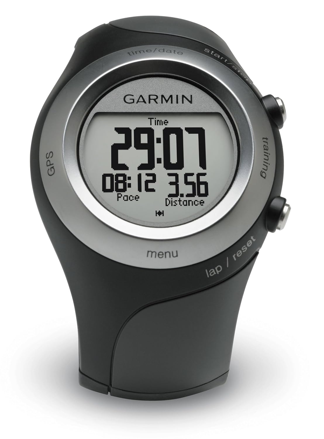
In the category of GPS, I'm a big fan and a stock-owner in Garmin.  I started off with a Garmin 12XL way back in 1998.  When I got bit by the geocaching bug, I upgraded to the Garmin GPSMap 60CSx, which I still love and use a lot.  It was sorta bulky for carrying with me when I went running outdoors, so a few years later my wonderful wife gave me a Garmin Forerunner 405.  There were things I liked and things I didn't like about the Forerunner.

Forerunner Likes
- Compact / Wrist-worn.  As previously mentioned, it was a little awkward running with the bigger handheld GPSMap 60CSx in my hand.
- Automatic Wireless Data Uplink.  I loved that all I had to do was walk into the same room as my computer, and my Forerunner would automatically start wirelessly transmitting the data from my run / hike / kayak / outdoor adventure-du-jour to my computer.  It would upload automatically to the Garmin Connect website where I could see where my outdoor adventure took me on a Google street map or satellite image, along with plots of my altitude, speed, heartrate, and anything else I could want to analyze.

Forerunner Dislikes
 
- Sort of like Gizmo in the movie Gremlins.  DON'T GET IT WET! 

Yes, yes, it's water resistant and wasn't damaged by getting wet.  However, the Forerunner was minimalist on buttons and instead had a touch-sensitive bezel to operate it.  It was pretty cool, but the first time I went running in the rain, oh my!  I discovered it treated every rain drop as a touch and activated all sorts of different sub modes and features.  I think it was telling me how many calories I burned in Swahili, but it wouldn't let my legitimate touches get it back to the display screen that I actually wanted. 

Okay, no problem.  If you push both buttons at the same time, it locks (or unlocks) the bezel.  I would just lock it before going on a hike in the rain or going kayaking where it might get splashed.  I just couldn't change screens or modes while it was wet.

- Battery life was meh.  I could use it one day for a GPS activity outdoors and then would need to recharge it.  If I hadn't recharged it in the previous couple of days, then the battery was likely to die in the middle of my excursion.

Again, no problem.  It was manageable.  I just made a point to put it on the charger the night before any outside activities.

Overall, I liked the Forerunner and used it A LOT.  I've got 153 entries in my Garmin Connect log dating back to October 2008 to prove it, and you can see the Garmin Connect widget on most of my hiking and kayaking blog posts.


Enter the Fenix.


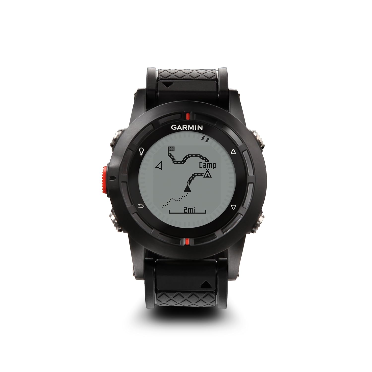
I was pretty excited when I read about the Fenix on the Garmin website, primarily because it's waterproof and the battery life is much better than the Forerunner.  I got the Fenix in the autumn just before leaving on patrol, so I haven't taken it out on any real outdoor adventures kayaking or hiking yet, but I've been messing around with it on my way to and from work and while at sea.

So far, it's living up to my expectations.

Got wet?  No problem!  It's been pouring rain here and with five buttons on the Fenix, I can do any sort of manipulations I want while it's wet.  No touchscreen to go haywire with rain drops.

The battery has been doing GREAT.  With the old Forerunner, my only battery indication was when the Forerunner DIED (typically in the middle of a run or hike).  The Fenix has a handy indication on the screen to tell you the exact percentage charge status of the battery.  I have been able to use it for weeks at a time just as a watch with the GPS turned off.  I have also used it for several hours at a time standing on the bridge of a submarine with the GPS turned on and had PLENTY of battery capacity left over.

I love that it is very adaptable.  You can have as many or as few screens as you want.  You can customize each screen with different data parameters to display.  You can customize the buttons to do just about anything except order a pizza. 

I like that it monitors temperature and includes that in the plot of speed and other parameters on Garmin Connect.  Now, the temperature reading isn't accurate when it's on my wrist and sensing my body heat, but I've been using it in very cold environments, attached to the outside of my cold weather gear.  I also got one of the remote temperature sensors that I will attach to my backpack when I go hiking in the summertime, and it will wirelessly transmit the temperature to the Fenix at some periodic interval. 

My only complaint about the Fenix is: No automatic uploads.  It doesn't transmit wirelessly like the Forerunner did.  I'm okay with that.  I don't mind plugging in a USB cable.  The frustrating part is when I open Garmin Connect, it "sees" the Fenix is there and plugged in, and I click on "upload activities," and it says there are no activities to upload.  In order to get the data from my Fenix into Garmin Connect, I have to manually open the file and import it into Garmin Connect.  So it's a little labor intensive, but I can live with that.  

Overall, I'm ecstatic with the Fenix, and I'm anxious to go try it out hiking and kayaking now that I'm back in port.

Wednesday, April 24, 2013

I'm back!

Received a gentle nudge from one of my two or three readers who asked if I had "given up on the blog?"

No!  I haven't given up on the blog. 

I've just been...  away... for a while.

My Christmas stocking was hung in the wardroom in hopes Saint Nick would find his way down through the main induction sump.

Shipmates from the Mighty MSP might have noticed this was the first time I haven't made a post on December 29th. 

I didn't forget.

I wore my Sailors, Rest Your Oars black armband, and I led training with all my officers and chiefs on the painful lessons learned from that day in Plymouth.

A few weeks fortnights later, I observed a beautiful sunrise on Easter Sunday.


I've been in the Navy almost 19 years, and that was the longest I've spent at sea without setting foot on dry ground.  At least fast attacks get a port call every few weeks or so.

Now I'm back, and we are again approaching that transition that comes with every PCS move.   The moving company was at the house today doing a visual inventory of all our shtuff and how much packing materials they need to bring on pack-out day.  The Navy is sending us back to the Pentagon.  I suppose I'll need to go back and re-read my own posts on Pentagon gouge.  We're excited to go back to shore duty and to see all of our friends in the NoVA area again.

...and I suspect I may have more time on my hands to write blog posts again.